
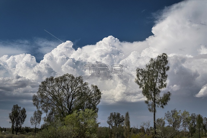
Cumulus congestus and storm clouds behind trees in Australia. These rapidly-building storm clouds are classified as cumulus congestus and cumulonimbus calvus. Cumulus clouds typically occur under 2000 metres altitude. They form from water vapour in rising columns of air which condenses as it cools. Cumulus clouds often form at cold fronts where the advancing, cool air forces warm air upwards. The congestus variety (also known as towering cumulus) can rise to great heights and can develop into cumulonimbus clouds (thunderheads). Photographed mid-afternoon in October, near Uluru in central Australia.
| px | px | dpi | = | cm | x | cm | = | MB |
Details
Creative#:
TOP24703360
Source:
達志影像
Authorization Type:
RM
Release Information:
須由TPG 完整授權
Model Release:
N/A
Property Release:
N/A
Right to Privacy:
No
Same folder images:
 Loading