
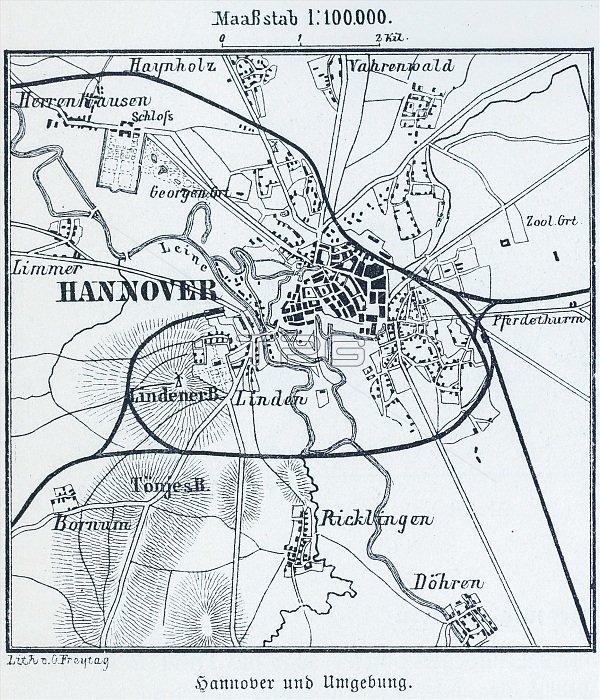
100.000, capital city, districts, Herrenhausen, Ricklingen, railway lines, map, cartography, countryside, historical illustration 19th century, city map of Hannover, Lower Saxony, Germany, Europe
| px | px | dpi | = | cm | x | cm | = | MB |
Details
Creative#:
TOP28879213
Source:
達志影像
Authorization Type:
RM
Release Information:
須由TPG 完整授權
Model Release:
no
Property Release:
no
Right to Privacy:
No
Same folder images:
19th-century19thcentury1900sCentralEuropecitiescitymapscitymapcitydeserteddistrictemptyEurope'sEuropeFRGgeographicalgeographicgeographyGermanFederalRepublicGermanyGermanHanoverHerrenhausenHistoricalillustrationhistoricalHistoricillustrationsHistoricillustrationhistorichistoryillustrationsillustrationLowerSaxonymapsmapMiddleEuropemunicipalnavigationneighborhoodneighbourhoodnineteenthcenturynobodynooneNoPeopleNorthernGermanyNorthGermanyorientationprovincialcapitalsprovincialcapitalRepublicofGermanyStatecapitaltownuninhabitedurbanenvironmenturban
1900s19th19th-centuryCentralEuropeEuropeEuropeEurope'sFRGFederalGermanGermanGermanyGermanyGermanyGermanyHanoverHerrenhausenHistoricHistoricHistoricalLowerMiddleNoNorthNorthernPeopleRepublicRepublicSaxonyStatecapitalcapitalcapitalscenturycenturycitiescitycitycitydeserteddistrictemptyenvironmentgeographicgeographicalgeographyhistorichistoricalhistoryillustrationillustrationillustrationillustrationsillustrationsmapmapmapsmapsmunicipalnavigationneighborhoodneighbourhoodnineteenthnonobodyofoneorientationprovincialprovincialtownuninhabitedurbanurban
 Loading